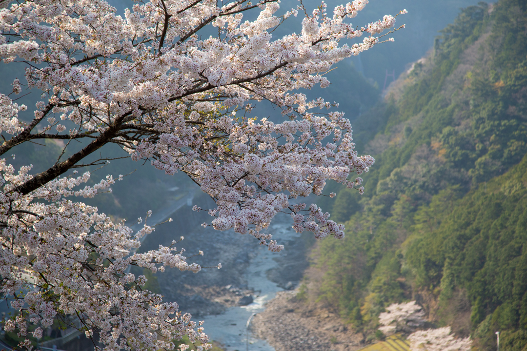
おばたに・Obatani

We have a tendency around the world to set a higher priority to locations listed “higher up” (further north) on the map than others. Inhabiting a spherical planet where there is no true up or down, it is sometimes useful to to flip maps upside down to shake up our mental concepts of what is higher and lower.

It is interesting that in Kawakami where the 紀ノ川・吉野川 river is central to life, hamlets located further south where the river begins are referred to as higher and regions further north, downstream, are referred to as being lower.
A similar naming convention exists in communities along the Nile river in Egypt, which also flows South to North. Upper Egypt is located further South where the river begins, and Lower Egypt refers to the area where the river meets the ocean.
It is a good idea to dive into the deep end and begin your 26-hamlet tour of the village in Kawami start from “Upper Kawakami,” though the tour can be done either way. Obatani is situated just before a huge tunnel that leads to Mt. Odaigahara. Not many people remain there, but you might find a local or two waiting at the bus stop along 169 who might be able to swap a few stories with you if you do not see any farmers tending to their gardens above.
